
Start free
Free
5 manual location lookups per month No card required.
TrueViewly turns addresses and coordinates into structured location intelligence reports for property screening, portfolio review, bulk workflows, and API-powered analysis.
Professional review recommended because seismic and wildfire signals are elevated, while hydrology remains low.
TrueViewly is useful when a property, portfolio, or address list needs a repeatable first-pass review before deeper diligence begins.
Screen acquisitions and compare site signals before spending time on deeper review.
Review location context early when evaluating parcels, project sites, or redevelopment opportunities.
Add repeatable location screening to loan review workflows without treating the report as a lending decision.
Use report signals as context for internal review while keeping underwriting decisions separate.
Organize property research, export reports, and share findings with controlled links.
Automate report jobs and batches when location review belongs inside a product or data pipeline.
Property teams often jump between maps, PDFs, spreadsheets, and public portals before they can explain what a site might be exposed to.
Flood context, nearby water, elevation, precipitation, soil, and community risk signals live across separate sources.
Teams need a repeatable way to screen one property or compare many sites without rebuilding the same research each time.
Risk review is most valuable before acquisition, lending, development, underwriting, or portfolio decisions are already moving.
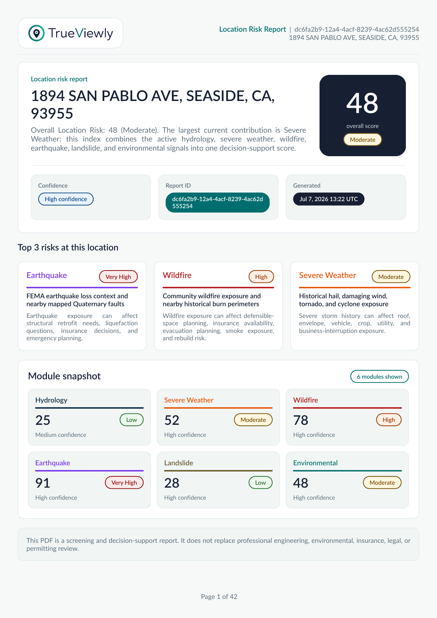
The sample report below is based on the actual TrueViewly PDF output for 1894 SAN PABLO AVE, SEASIDE, CA, 93955. It shows the score, top risks, module cards, confidence, and decision-use language customers receive.
The largest current contribution is Severe Weather; the index combines active hydrology, severe weather, wildfire, earthquake, landslide, and environmental signals into one decision-support score.
The current report engine is US-focused and combines available public datasets into a structured report so teams can review the same types of signals consistently.
Mapped flood-related context where available.
Elevation context where supported by available sources.
Distance and proximity context for mapped water features.
Site and surrounding terrain context for review.
Rainfall frequency information where available.
Soil hydrology context for drainage-related review.
Community-level context from National Risk Index sources.
Report history, quota, API keys, sharing, and team access in one place.
Start with a single lookup, then grow into team workspaces, bulk uploads, API jobs, and operational usage controls without changing tools.
Search an address or coordinate and create a reusable workspace report.
Save reports, review them later, export PDFs, and send invoices or report documents when needed.
Organize repeated screening around real work: portfolios, sites, properties, and internal projects.
Invite team members, manage roles, and keep reports, billing, API keys, and usage together.
Process CSV batches asynchronously when your review list grows beyond one address at a time.
Use API keys, jobs, batches, and usage observability to integrate screening into your own workflows.
TrueViewly is not only a report generator. It supports the way location review actually moves through teams and systems.
Run a manual lookup, review the report, export the PDF, and keep the result attached to the workspace.
Use projects, properties, and bulk upload rows to keep many locations moving through the same review process.
Use API keys and report jobs when location screening needs to be part of a product or internal data pipeline.
Plans include subscription access and usage quotas. Workspace owners can add current-cycle top-up packs for manual lookups, bulk upload rows, or API requests when a team needs more capacity.
5 manual location lookups per month No card required.

Manual location intelligence for individual users and small recurring review workflows.
Equivalent to $24.17 / month when billed annually.
Manual lookups plus bulk upload capacity for portfolio and batch screening workflows.
Equivalent to $74.17 / month when billed annually.
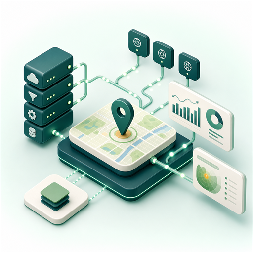
Production API access with manual, bulk, and automated location-risk workflows.
Equivalent to $165.83 / month when billed annually.
TrueViewly makes location signals easier to review, share, and operationalize. It does not replace licensed professionals, government records, engineering review, insurance decisions, or legal advice.
Pick a plan, create a workspace, and turn location research into a repeatable workflow.